The closure of an area to some or to all fishing activities is one of the tools available to fisheries managers seeking to improve stock sustainability and protect marine environments. However, while such closures can be effective, there is a risk that they may displace fleets and concentrate fishing pressure in the remaining ‘fishable’ areas available to them, with unintended negative consequences for livelihoods, alongside fish stocks and ecosystems in these areas. Under our Spatial management impacts on ecological systems and fisheries theme, SEAwise investigated modelling approaches for predicting the potential impacts of spatial redistribution of fishing, in terms of fleet displacement costs, how many fish they catch, their profitability, and changes in ecosystem health.
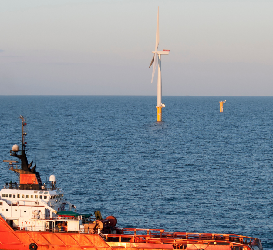
Inevitably, the effects of climate change and human activities such as offshore wind development and the designation of protected areas will lead to shifts in available fishing grounds and increased competition for marine resources. Improving our ability to understand and predict the dynamics of these relationships will better enable us to support evidence-based policymaking and understand potential trade-offs between ecological, social, and economic needs – a key aim of Ecosystem-Based Fisheries Management (EBFM).
The SEAwise team started with a static model that produced a snapshot of the short term impacts of protected areas in terms of displacement of fisheries, by exploring the cost associated with alternate fuel and travel times and their associated predicted catch. However, in order to incorporate and account for long term environmental, social and fishing sector variability in ocean landscapes, a series of other dynamic models were run, providing a more comprehensive overview helping to better inform EBFM. These models incorporated factors such as connectivity between sites (for migration of fish stocks), climate drivers acting on fish populations, different catch quota scenarios,and interactions between different fisheries sectors (e.g. large-scale and small-scale fleets).
The analysis suggests that across the Case Study regions overall, while some fleets are expected to experience short-term economic costs, increases in fish biomass as a result of spatial closures should provide longer-term benefits to the fishing industry as well as to marine biodiversity. The models used in this research – DISPLACE, BEMTOOL, ECOSPACE, Agent-Based Models and OSMOSE – can help predict likely changes to fishing productivity and guide where support will be needed for specific fleets.
The spatial datasets we’ve created to show fishable and protected areas in the Baltic Sea, North Sea, Western Waters and Mediterranean can be used in the future by fishers and managers in EBFM-led decision-making. The datasets will also lead directly onto the next stage of our spatial management work, which will involve deeper exploration of aspects such as fish population dynamics and climatic drivers.
Access the full report here.
Stay up to date with SEAwise news and research, hear about upcoming events, and receive updates on fisheries news from across the European seascape.